Sunday, 24 August 2014

Roe Green Loopline 2, Walkden to the M61

This route is entirely traffic free and runs for one and three quarters miles, mostly along the disused trackbed of the Roe Green Loopline in Salford. The Roe Green Loopline was opened in 1870 from Roe Green to Bolton, via Walkden Low Level. A key function of the lines was to support the surrounding collieries in conjunction with the Bridgewater canal, the largest of which was at Mosley Common, one of the biggest pits in the UK at its prime.

This post covers the section from Parsonage Road in Walkden to the boundary between Salford and Bolton at the crossing of the M61. It is a continuation of a previous post Roe Green Loopline 1, Roe Green to Walkden.


From here the path surface is good tarmac with the light, reddish stone chipping.


The path then climbs under the Thirlmere Aqueduct.


This part of the path has metalwork painted bright red.


The path runs under Hilton Lane,


and further along under the A6, Manchester Road East, where the path looks rather neglected.


Past the A6, there is this terracing on both sides of the path. This was the site of Little Hulton railway station. The commemorative stone is getting a little overgrown.


A little further along the path ramps steeply up


to meet a small footpath between Coniston Grove and Mt Skip Lane.

Unfortunately there are two horrible U-shaped barriers like this blocking the railpath that would stop many pedal cycles.


It really is a small footpath that cuts the path at this point.


However, beyond the second barrier is the first of a series of murals on this section of the path that mark each of the access points. This is number 10.


The design came from a local school.


Number 9 'Kirkham' was mostly covered in dried grass.


Next under Clegg's Lane


where the path is looking neglected again, with lots of fly tipping.


Shortly after the number 8, the access from Clegg's Lane & Old Lane.


Then 7, Earlsdon Crescent.


6, Cirencester Close.


5, Chedworth Crescent.


Just after there is this complete map of this section.


Then, 4 is Old Lane and 3 is Chedworth Crescent.


The route to Old Lane is another railway route, though I didn't explore this one.


2 is another access to Chedworth Crescent


and this is 1, Spa Crescent. The mural was somewhat overgrown.


Shortly after the path hits a T junction. The left branch heads into a housing estate, but the official path is the right branch, but not along the obvious path. At this point you have to turn to the left across the grass and through the gap in the trees.


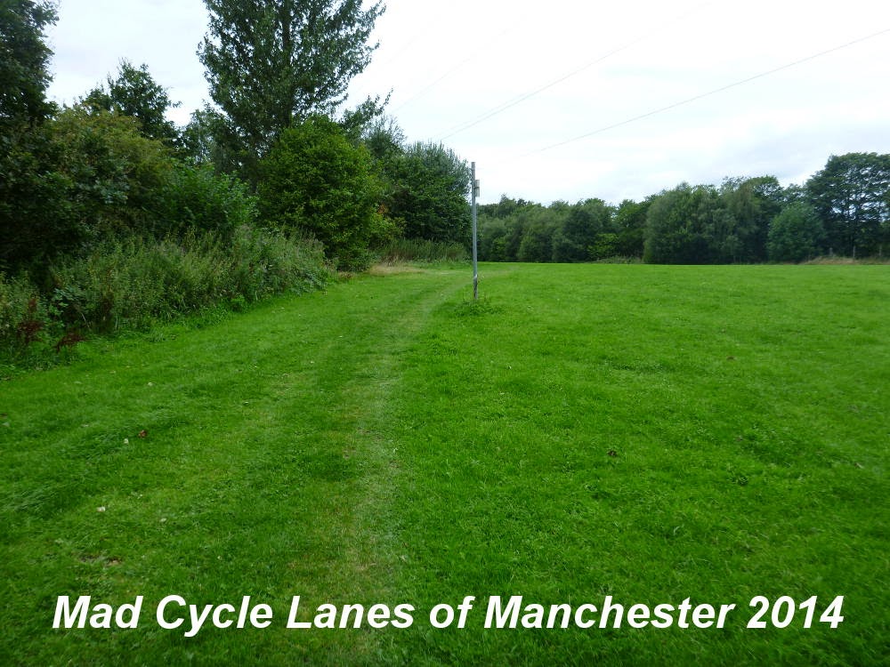
Keep following the vague mark in the grass where the surface is firmer, the metal posts also mark the way.


You eventually reach a gate


one of the most horrible bike barriers I've seen.


If you look to the left of the gate there is this gap which is easier than the U-barrier to the right.


Once out onto the road, turn right and the road then crosses the M61.


The next post follows the line into Bolton.


View Roe Green Loopline 2, Walkden to the M61 in a larger map

Saturday, 23 August 2014

Trafford cycle forum

The next Trafford Cycle Forum is on the 3rd of September and is open to anyone to go along who has an interest in cycling.


From the Trafford Council Web Site:-

The Trafford Cycle Forum is a group for local cyclists to meet and debate the issues that matter to cyclists. Meetings are always lively and interesting, with a wide range of topics being discussed. The group meets quarterly, with meetings moving around the Borough.

The next meeting of the Trafford Cycle Forum will be held on Wednesday 3rd September 2014, from 6-8pm, at Trafford Town Hall, Talbot Road, Stretford. Future meetings are scheduled for 26th November 2014 (venue to be confirmed).

If you would like to get involved in the Trafford Cycle Forum, or receive information about events for cyclists in Trafford, please contact the secretary of the Forum, Dominic Smith, on roadsafety@trafford.gov.uk or by phone on 0161 912 4312.


Tuesday, 19 August 2014

Roe Green Loopline 1, Roe Green to Walkden

This route is entirely traffic free and runs for just over one and a quarter miles along the disused trackbed of the Roe Green Loopline in Salford. The Roe Green Loopline was opened in 1870 from Roe Green to Bolton, via Walkden Low Level. A key function of the lines was to support the surrounding collieries in conjunction with the Bridgewater canal, the largest of which was at Mosley Common, one of the biggest pits in the UK at its prime.

This post covers the section from the junction of the Tyldesley Loopline with the start of the Roe Green Loopline at Roe Green to Walkden. It is a continuation of a previous post Tyldesley Loopline 1 - Monton to Roe Green.

At Roe Green the two bridges carry Greenleach Lane over the continuation of the Tyldesley Loopline to the left as it turns west and the newer Roe Green Loop Line to the right which continues north heading for Bolton.


This post takes the right fork along the Roe Green Loopline.


The path runs straight in a northwesterly direction from here. The surface isn't too bad comparedto the muddy conditions near the M60 to the south east.


After a short while the path passes under the East Lancashire Road.


Then it opens out for around half a mile


with the trees encroaching occasionally.

This is around the north western end of the planned improvement works.

According to an email from Urban Vision:
Phase 6 and 7 improvements, of approximately 2.4km, will begin at Worsley Station (the original railway station) in Worsley, passing under the motorway bridge towards Roe Green and under the East Lancashire Road to Mesne Lea Primary School. This 600k project will link the existing improvements from Tynesbank through to Monton Green and will include re-surfacing works, the installation of drainage, the construction of access paths and steps, as well as the installation of benches along the route. Urban Vision has completed design of the scheme, and it is now proposed to go out to tender on 25th July 2014, with a view to the works starting at the end of October for a 14 week period. It is anticipated the works will be completed by early February 2015.

My main concern is that the path is likely to be closed for 3 months and that they do not install any new barriers or other obstructions on the route


The path then passes under the Walkden Road


through the site of the Walkden Low Level station which has left no trace on the ground and under Park Road


then under this high railway bridge


and then the Bridgewater Road.


Soon there is a junction with the route of a railpath running towards the south west. This is labled the Hilton Lane Loopline on a map I have from Salford Council, but this does not match up with anything I can find. Further research needed, but this line leades down towards Ellenbrook and will be the subject of another post.


The path then rises towards Parsonage Road, take the right fork here


which takes you to the cycle barrier.


From here the rail path continues towards Bolton. The next post goes to the edge of Salford on the M61 and the boundary with Bolton.


View Roe Green Loopline1 in a larger map


Sunday, 17 August 2014

Tyldesley Loopline 2, Roe Green to Ellenbrook

This route is entirely traffic free and runs for just over one and a third miles along the disused trackbed of the Tyldesley Loopline in Salford. The Tyldesley Loopline was part of the London and North Western Railway's line from Eccles to Kenyon Junction on the Liverpool and Manchester Railway. The line opened in 1864 and closed in 1969.

This post covers the section from the junction with Roe Green Loop Line at Roe Green to Ellenbrook. It is a continuation of a previous post Tyldesley Loopline 1 - Monton to Roe Green.

At Roe Green the two bridges carry Greenleach Lane over the continuation of the Tyldesley Loopline to the left as it turns west and the newer Roe Green Loop Line to the right which continues north heading for Bolton.


This post takes the left fork along the Tyldesley Loopline.


The path starts off as a wide railpath on the track bed


However, the trackbed soon becomes a wetland and the path moves to one side


and climbs onto the side of the cutting as the trackbed becomes more like a swamp.


The bridge takes you under the junction between the East Lancashire Road and Walkden Road.


This is a long dark tunnel under the road and is in serious need of proper lighting.


Immediately after the path climbs steeply up to road level to escape the wet trackbed.


From here the path takes a few twists and turns


before settling down on the south side of the trackbed


well above the wetland below.


Here the signposting gets a bit eccentric


but the path is fairly well defined and reasonably well surfaced.


Most of the barriers are easily bypassed


and as the route emerges from the cutting the path returns to the trackbed.


Finally it ends in a fork. Take the right hand side to get to the bike barrier.


Here at Ellenbrook you will now see the construction of the guided busway


Currently the route is blocked awaiting the completion of the busway which promises a parallel cycle route.


Meantime I have a set of photos from last year's ride along the route, just after the trees were felled... but that will have to wait for another post.


View Tyldesley Loopline 2, Roe Green to Ellenbrook in a larger map