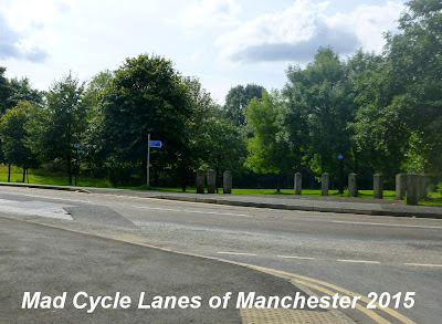
To get to the start of the path go up Turner Lane, past the railway station, fork right to avoid going down Turner Street and the path entrance is at the end of Turner Lane. To get here from the end of the Ashton Canal is a nightmare, and we ended up walking most of the way.

The path has been designated NCN Route 626.

The first notable landmark on the route is the three arched bridge under Cranbourne Road.

The next bridge carries a footpath that connects to Waterloo Road,

which is soon followed by this new structure that takes the path under Wood Lane.

After Wood Lane the character of the path changes. It looks like the cutting has been filled in, and the path goes between two modern housing estates, mostly hidden by the trees.

There is another barrier where the path crosses between Meadowbank and Bristol Avenue.


The path then enters the countryside, where at Alt Hill Lane, the old bridge has been removed. There are the usual barriers

and a notice reminding you that this is not a right of way...

After Alt Lane the path climbs back up to the track bed. Be warned this part of the path is often used by novice horse riders so watch out!

As you approach Park Bridge, just before the location of the old railway station, the path then curves away to the right, taking you off the main trackbed and onto the route of a siding that ran quite steeply down to the ironworks. The main line went over a viaduct at this point, but it was demolished in 1971.
There was a bid to build a replacement bridge at this point as part of Connect2, but it failed to get funding.

Here the path descends and has another set of barriers at Alt Hill Road.
Watch out for the horse shit!
At this point it is quickest to turn right down the road and descend into Park Bridge.

However, you are guided across the road and here the tarmac path gives way to a soft sandy surface.

After looping round 180 degrees you cross this wooden bridge and enter the village past the remains of the ironworks. At this point you can join the Fairbottom Branch Canal and Tramway - Waterhouses Junction to Park Bridge route.

Now you have to climb back up through the village

past the Heritage centre, which was closed

and then turn left up Dingle Terrace.

At the end is the path access through this horrible anti-cycling barrier.

There is then a further steep rough slope to regain the level of the old trackbed.

Initially the path runs somewhat to the east of the old railway line, but then goes round the edge of this field. This is roughly the location of the local authority boundary between Thameside and Oldham.

and rejoins the trackbed at this right turn.

The path now regains the character of an old railway for a while.

Here there is open land to the east, and Hathershaw to the west

There are the occasional strange markings in the tarmac...

A bit further north there is a lot of new housing and other development going on and it looks like this has been used as an access route.

The path then swings to the right, leaving the track bed where there are football pitches on the right hand side.

Here there is another barrier as the path now turns into Kings Road.

Here Honeywell Lane turns left and becomes Kings Road.

The path now can be seen to the left, where it gets back on to the old railway trackbed.

Here the path is part of a linear park that runs alongside the road.

This sign marks the path across to Alexandra Park and the Wheels for All project.

The path then sweeps gently to the right

before ending, somewhat abruptly at Park Road in Oldham.

Here the sign gives no clue as to where the path goes next.

On the opposite side of the road is a huge Matalan outlet.

The car park is roughly the site of the old Clegg Street Station, but there is no sign of it now.

This is more or less the end of the Oldham, Ashton and Guide Bridge railway, and the next section of line will be the subject of a separate post.

Map showing the whole of the Oldham, Ashton and Guide Bridge Junction Railway (in yellow) and connecting lines.
Most of the graveled parts have recently been Tarmacked so no more crapping your Bike up in the Wet winter months
ReplyDelete